Vancouver Island, a raw wilderness adventure
Most people think of Vancouver Island as only Victoria and occasionally Tofino but there is so much more on this island! The island itself is twice the size of Hawaii with varied climates and terrain.

Horseshoe Bay, West Vancouver - view from the ferry terminal
I started on my 8-day adventure from Horseshoe Bay in West Vancouver on a ferry to Nanaimo – I’ve had ferry adventures around the world which included sharing a barge in Kenya with farm animals to luxurious Japanese liners but the B.C. Ferry system is impressive at an entirely different level. The ferry I took had 4 decks for vehicles giving it the capacity to hold 350 cars, 3 decks of dining, shopping, business center and just taking in the spectacular views. Not to mention the efficiency of loading and unloading of passengers.

One of the gigantic efficient BC Ferries, I love public transport in British Columbia, Canada.
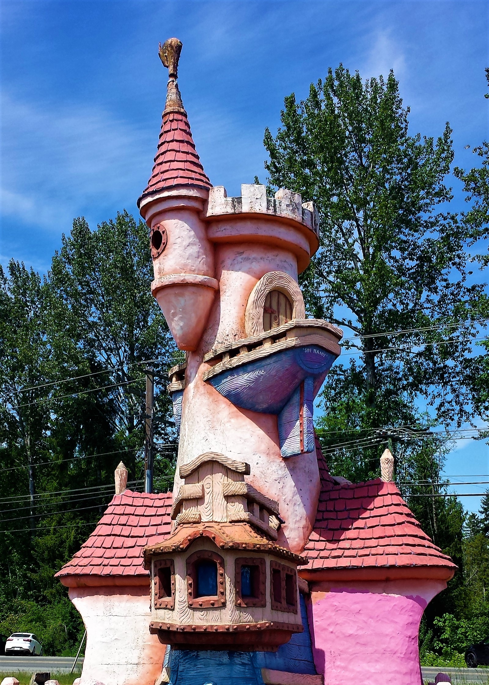
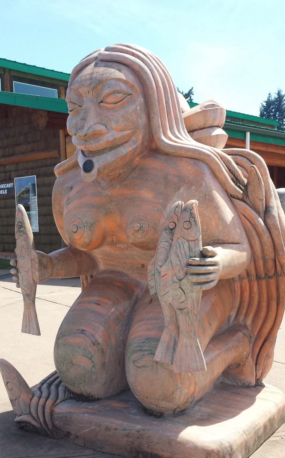
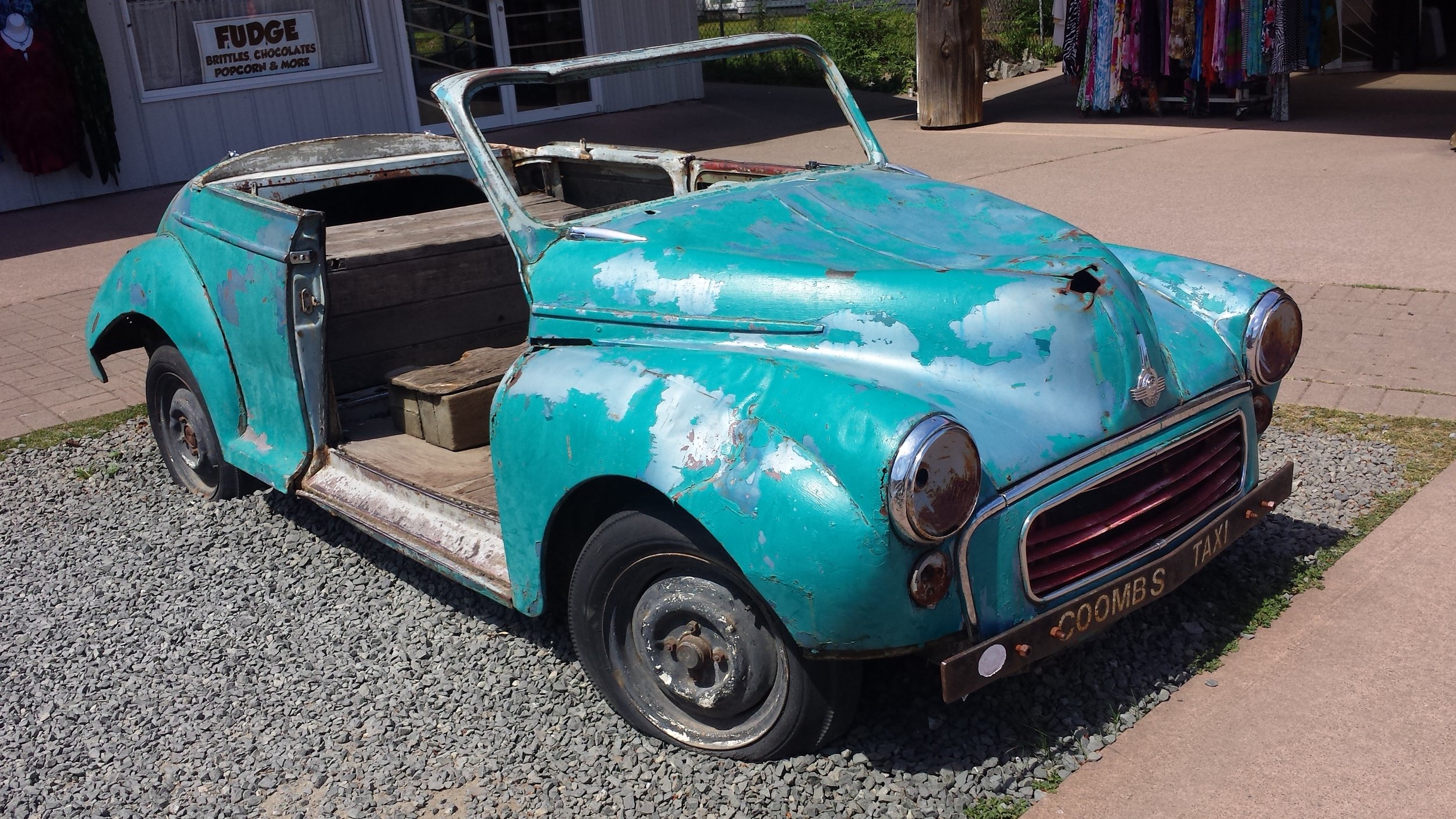
Upon arrival, I headed from Nanaimo to Sproat Lake along Pacific Rim Highway, the drive was filled with wildflowers, snowcapped mountains and rivers on either side of the freeway. A brief stop in Coombs was required to check out the funky art installations and goats on the roof attraction – yes there’s a market that has a family of goats living on its roof! You have to see it to believe it!
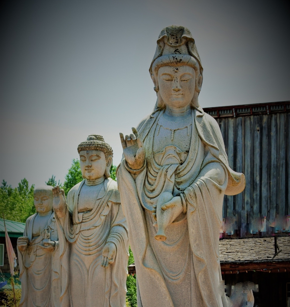
I pitched my tent at Sproat Lake Provincial Park, grabbed my bathing suit and headed for a swim. If you’re into camping I highly recommend this provincial park, the campsites are large, secluded and the facilities are uber-clean. I was also impressed by the park ranger here, he spent considerable amount of time with me drawing out maps and lists of what I should do on the western side of the island. Sproat Lake is surrounded by snow-capped mountains and is ideal for swimming, fishing, waterskiing and windsurfing. The park also has a few hiking trails, the one I hiked was to the eastern end of the lake which has the best preserved prehistoric petroglyphs in British Columbia. The petroglyph is called K’ak’awin, little is known about the carving except it’s dates back to 700 BC, the carving is likely of an actual or mythical sea creature and it was probably carved by the ancestors of the Nuu-chah-nulth First Nations.

Sproat Lake
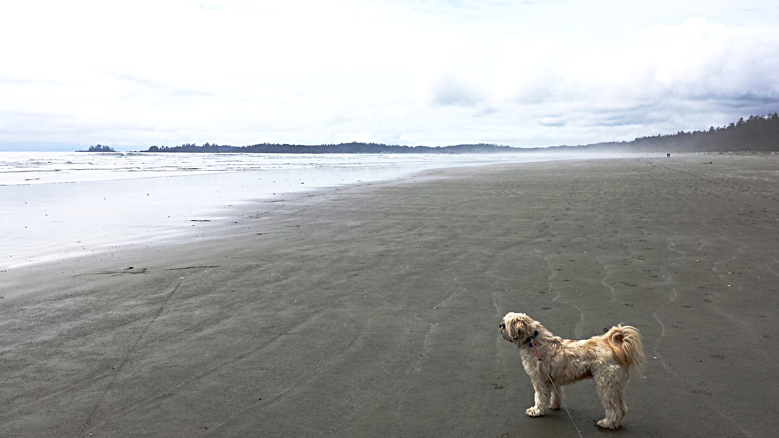
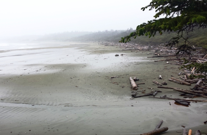
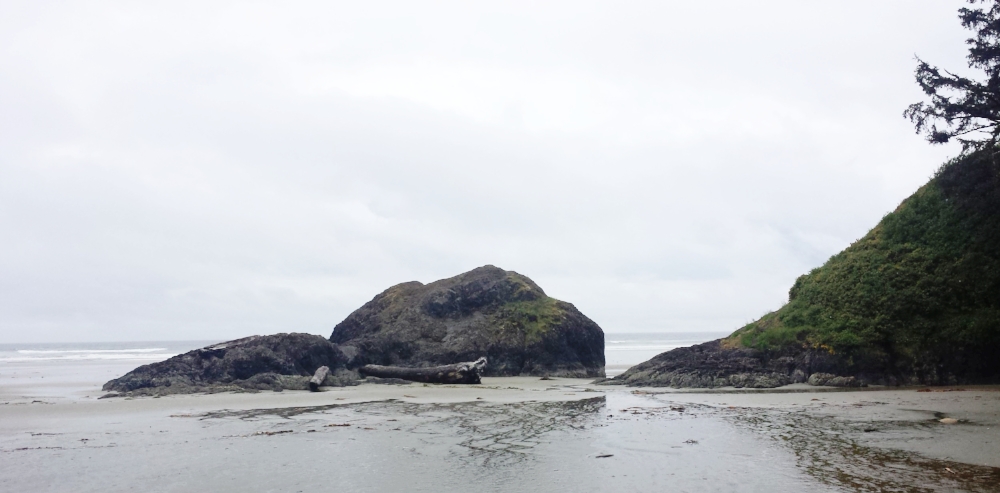
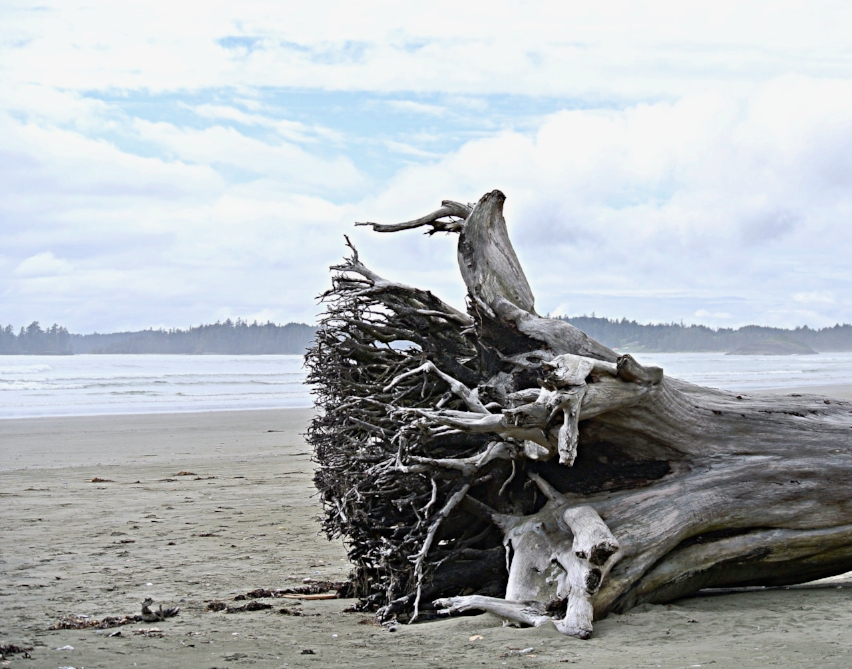
Lakes are beautiful and serene but I heard the ocean calling me, I packed up and started heading towards the west coast of Vancouver Island. I don’t know if all Canadian national parks are like this nevertheless Pacific Rim National Park was the idyllic place to camp – each campsite had old growth forest surrounding it, a view of the ocean and enough privacy to feel secluded.

The National Park has 125 km (77 miles) of shoreline which is divided into three areas: Long Beach, Broken Group Islands and West Coast Trail. I only explored the Long Beach section which is the longest beach with extensive sand dunes, hidden coves and trails. I will return next year to hike the 5 day West Coast Trail.
I would recommend stopping at any of the Visitor Centre’s at the national park to learn about the park itself, the wildlife and any informative programs conducted by the park rangers. The park is home to a number of wild animals including cougars, wolves, and black bears – you’re almost guaranteed a sighting of the three.
A fellow camper usually walked her 8-month-old golden retriever early in the morning on the beach, one morning a wolf approached her at the shoreline and bit the golden retriever’s neck, the camper screamed for help and three of the park rangers came to her rescue. Both the camper and the golden retriever are doing fine. The wolf was euthanized later that day since it has a history of attacks. Here’s the full story Wolf Attack at Pacific Rim National Park.

Rainforest Hike in the Pacific Rim National Park Reserve.
I always hiked with a large stick and attached my keys to the stick, the jingling of the keys would keep away predators. The stick can also be used to look large if approached by a bear or you can use it to scare of a wolf. The park rangers will give you a mini-training session on how to deal with wildlife before set up camp.
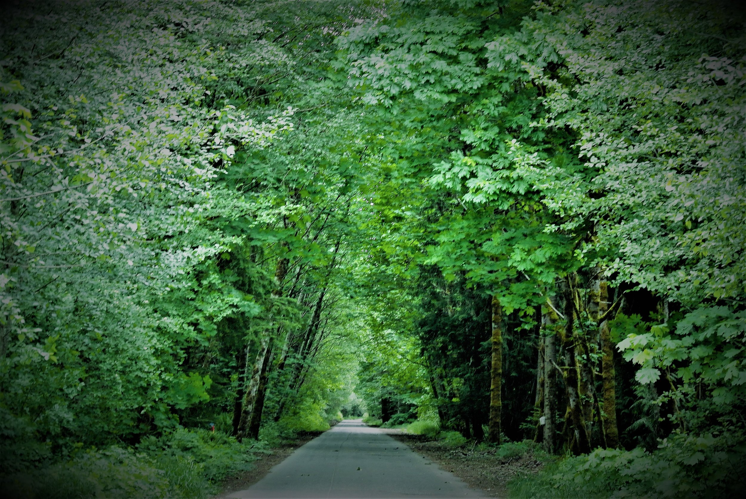
The west coast of Vancouver Island is truly magical, especially the coastline between Ucluelet and Tofino. The coastline is astonishingly beautiful, with majestic old-growth forests, dramatic fjords, crashing waves and long, silky, sandy beaches. Even though it’s not peak tourist season yet for the region, I met Dutch, German, Malaysian, Japanese tourists who came to discover the serenity here – or come just for the surfing! The abundance of natural beauty I found on this side of Vancouver Island is something I haven’t discovered anywhere else in the world.
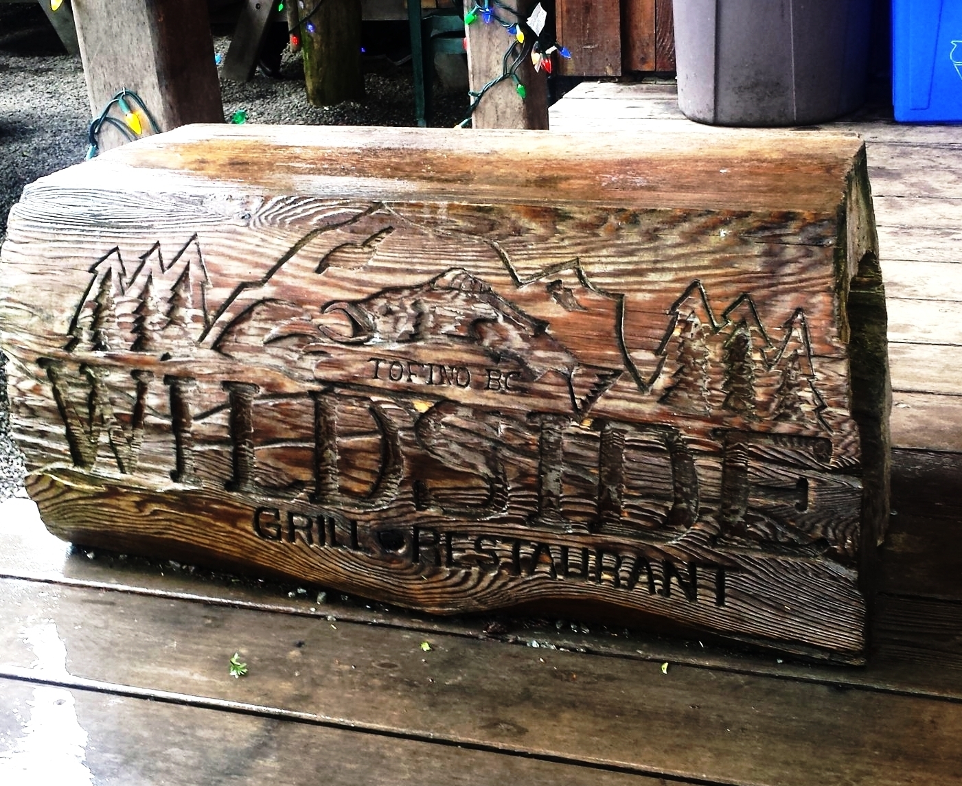
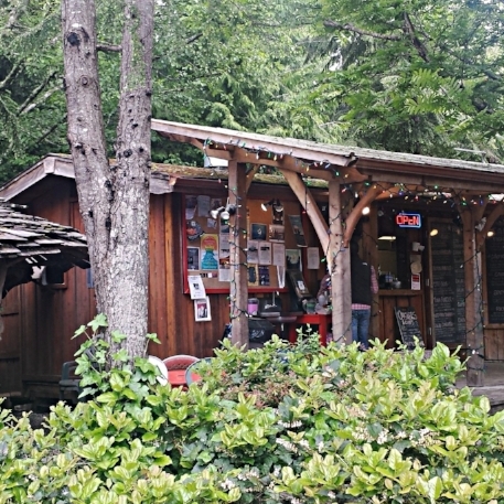
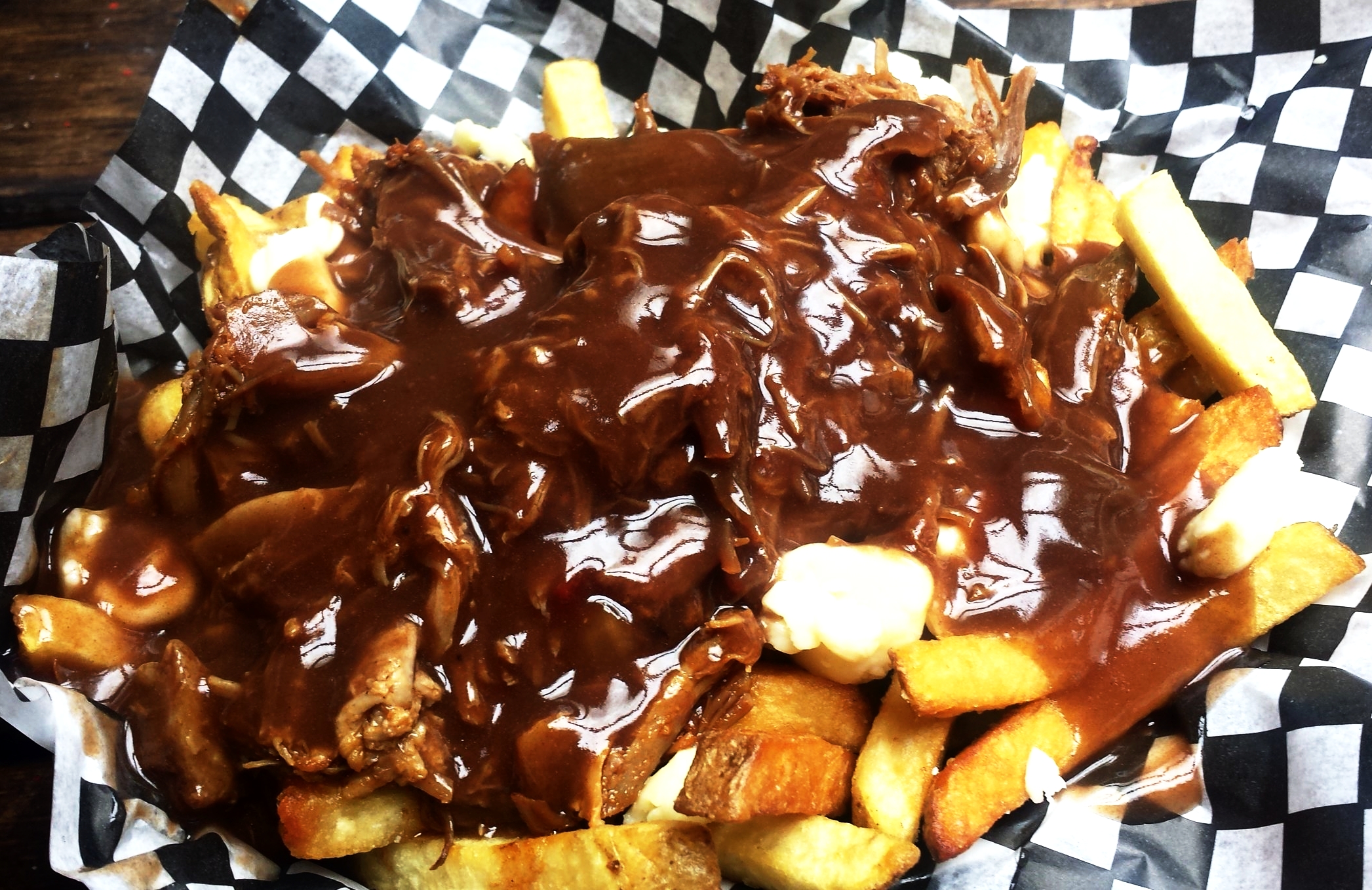
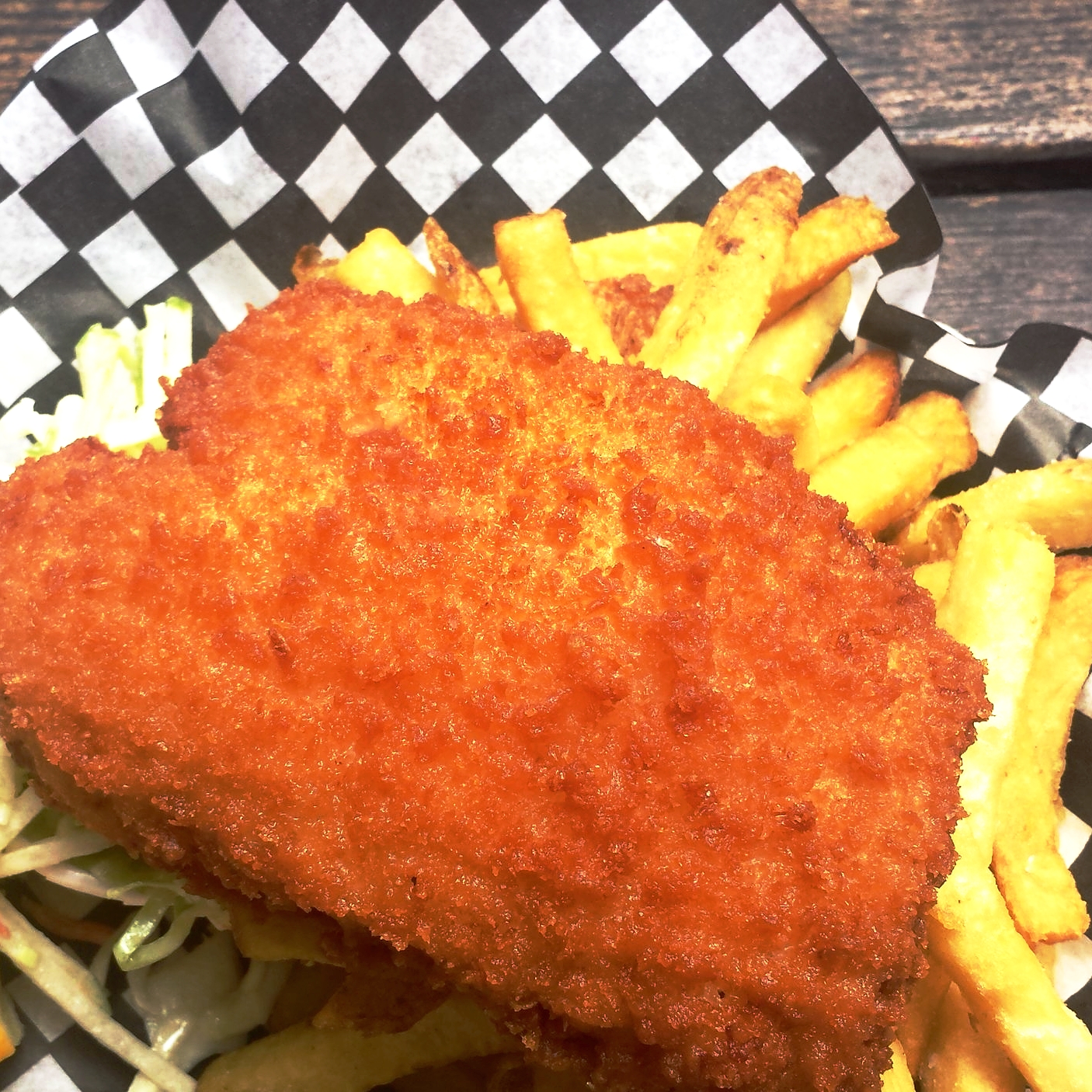
If you find yourself in Tofino, I highly recommend Wildside Grill for a meal, both the pulled pork poutine and fish & chips were superb! The outdoor eatery is located in the Live to Surf complex just before you enter the town of Tofino (if you're coming from Pacific Rim Park)
All good things must come to an end and I headed away from the coast to Comox Valley – includes the city of Courtenay, Comox town and Cumberland village. The valley boasts lakes, mountains, glaciers, and some breathtaking waterfalls. Not to mention some of the friendliest people.

View of Mt. Washington from Comox Valley
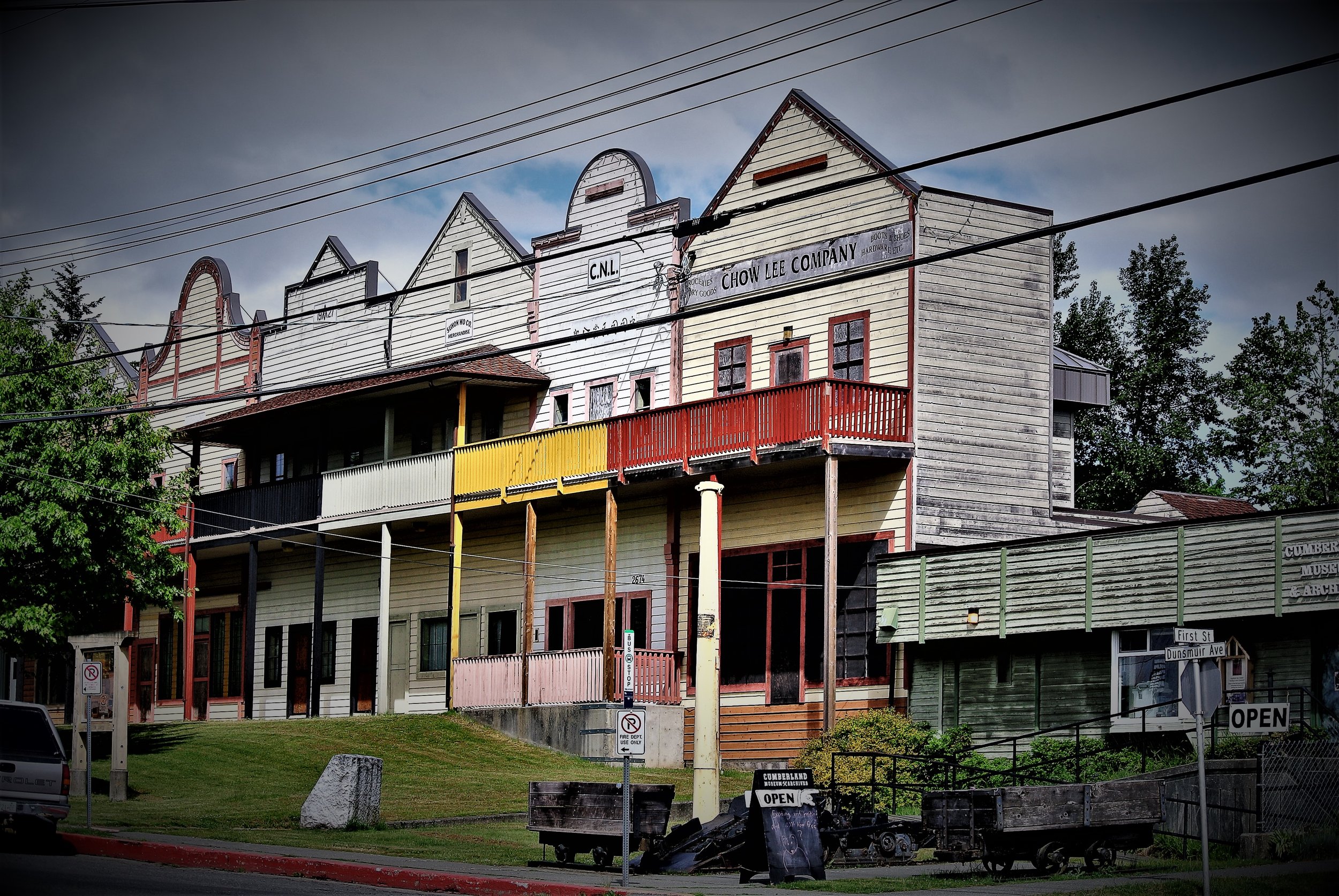
If you’re heading to Comox Valley, here are my recommendations: hike a trail at Mt. Washington, visit Seal Bay Nature Park for some great hiking, beach time and spectacular views, hike around Comox Lake Bluffs, grab dinner and drinks in Downtown Courtenay and don’t miss visiting Cumberland. Cumberland Village Bakery is worth a visit for some of their famous donuts or pastries, I highly recommend the croissants.

From left to right: Cumberland village, Beautiful streets of Courtenay, Seal Bay, Street Art
I continued northbound on Hwy 19, which turns into a single lane highway after Campbell River. Sometimes an hour would go by and I wouldn’t see another vehicle on the road, the remoteness sets in and it’s just you with the majestic mountains, roaring rivers and coastline. My northern most destination became Telegraph Cove, a small picturesque village consisting of restored historic wooden buildings and boardwalk. In 1912 this village was chosen as the northern terminus for the telegraph line from Campbell River, hence the name. Later the village was used as a salmon saltery by the Japanese.

Village of Telegraph Cove
The population of Telegraph Cove is 20, yes 20 people live in this paradise. Don’t let it’s size fool you, there is plenty of kayaking adventures, wildlife viewing, scuba diving and fishing to be done here. Telegraph Cove is also the premier location to go whale watching on the island. Even if you don’t go out on a boat, you’re likely to see orcas, humpback whales, Minke whales, sea lions, porpoises, seals and dolphins.

Overall the raw natural beauty of Vancouver Island will take your breath away and also breathe new life into you. There’s rugged coastline, soft sandy beaches, mountains to climb and rivers to raft. If the ocean isn’t your thing, there are numerous freshwater lakes. If history is your preference, you’ll get to hear about First Nations from the tribal members themselves and learn about the Spanish, French, and English explorers and settlers in this region. I’m already planning my next trip to Vancouver Island!